Waikato River - the beginning
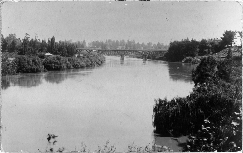
The Waikato River is Aotearoa/New Zealand’s longest and journey starts at Mount Ruapehu, high up in the central North Island volcanic zone and flows out into the Tasman Sea at Port Waikato.
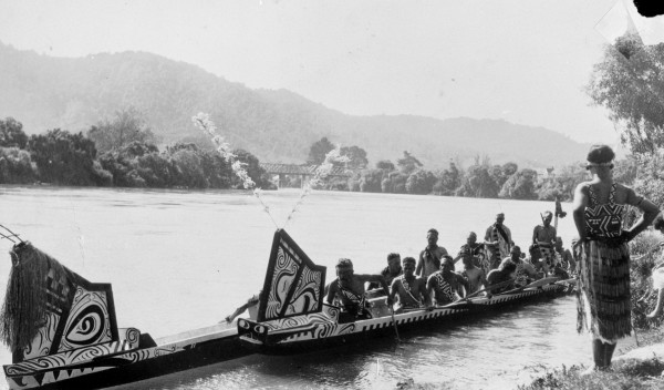
When the people of the Tainui waka first arrived in the area, back 700-800 years ago they settled along the Waikato River. It provided them with physical and spiritual sustenance. Not only did it nourish them but it was used for cleansing and healing, and was an important route for trade and communication. For the people of the Tainui Waka and Ngaati Tuuwharetoa it is their tupuna, taonga, and mauri.1
Prior to them arriving here, the river already had a long history on its own and its course has changed many times. Before it settled in its current position it flowed from the mountain and into the Hauraki Basin and out through the Thames Estuary. After the Oruanui eruption around 27,000 years ago, Lake Taupo was formed, and debris showered the North Island. The built-up volcanic waste eventually caused a catastrophic breakthrough which saw the river change course at Piarere and come through the Hamilton basin, eventually settling in its current location. The Waitoa River now remains as evidence of the rivers former course. 2
1 Waikato Regional Council, “Waikato Te Awa: Waikato River,” Waikato Regional Council, n.d., https://www.waikatoregion.govt.nz/community/your-community/iwi/a-maori-perspective-te-ao-maori/waikato-te-awa-a-taonga-treasure/.
2 John D. McCraw, The Wandering River: Landforms and Geological History of the Hamilton Basin, 2011.
Explore more images like this via our Heritage Collections Online